


Explore | Web Mapping Applications

The web map applications on this page offer an interactive
map browsing experience. Use them to explore and learn.
Click here for a basic guide

SANSA Web map apps.
~ SPOT-5 Coverage RSA available at SANSA
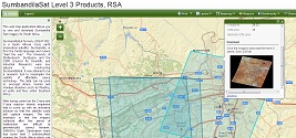
~ SumbandilaSat Coverage RSA available at SANSA
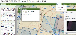
~ CBERS-2B available at SANSA
~ SANSA's DISTA

SPOT-5 Coverage RSA
Preview and query the SPOT-5 coverage over RSA for 2006-2012 available at SANSA.
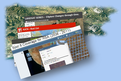
ESRI Story Maps
~ Landsat Series
~ Feeding the World
~ IUCN Amazing Species
~ Global Footpint
~ Human Population Reaches Milestone


IUCN Amazing Species
A story map co-produced by Esri and IUCN featuring a selection of threatened species from the Red List.


Contact Information
PO Box 484
Silverton, 0127
Phone: +27 (12) 844 0398
E-mail: fundisa@sansa.org.za
About Us

Affiliates

Department ofSience & Technology

Astrium - SpotImage